Hohøj hiking route - Mariager (5 km)
A scenic and city-close hiking route in and around Mariager on a 5 km marked trail. The route takes you to places such as Hohøj, Alstrup Krat, and Maren Finds Dal.
The Hohøj route takes you past prehistoric sites, allowing you to explore Mariager's idyllic town center with its cobblestone streets and half-timbered houses. You'll also venture into nature through Maren Finds Dalen, Alstrup Krat, and up to Hohøj - Scandinavia's largest Bronze Age mound.
Along the way, the route is marked with signs featuring a red arrow on a green background. In the town, however, look for a red arrow on a white background.
A hiking route that puts history, culture, and nature in the spotlight
Where you start is up to you. The hiking route forms a loop, so you will end up where you began the journey.
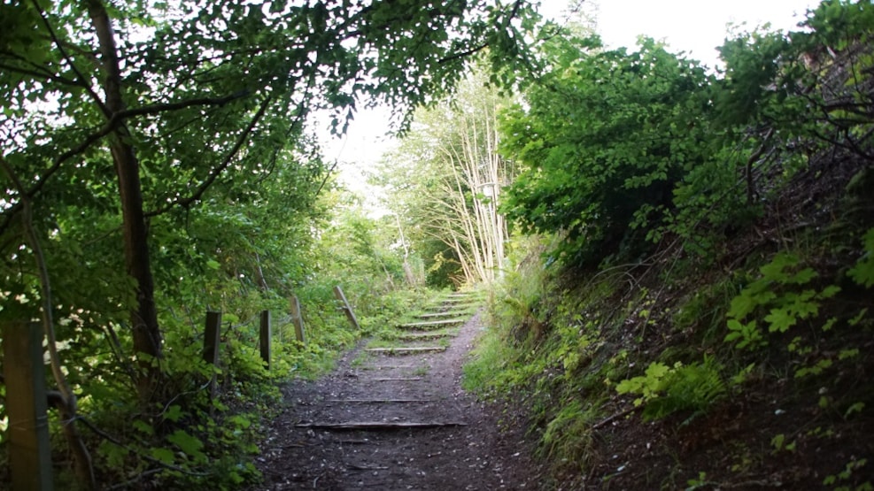
For example, you can start in Mariager town at Løvebrønden, located on Østergade, and head up the path behind the pharmacy. This will lead you to Maren Finds Dal, where despite the dense forest cover, you can still see the slopes formed by the meltwater of the Ice Age. From there, the journey continues up to Hohøj, known as Denmark's largest and highest Bronze Age mound. Although the uphill climb can be challenging, the view from the top of Hohøj makes it worthwhile.
A vehicle shelter from World War II
Before reaching Hohøj, along Hohøj Skovvej, you can find remnants of WWII vehicle shelters used by the occupying forces. During the war, Hohøj was used as an observation and listening post by the German troops, and on the way up, you can see cut-ins in the slopes, which were the locations where the vehicle shelters were dug into the ground.
Alstrup Krat and Oksedalen
From Hohøj, you move into the forest and towards Alstrup Krat. Here, you can experience a deafening silence as moss covers the forest floor and majestic coniferous trees reach high into the sky. Try standing still and listening as you enter the forest; it's completely quiet. Then look up and see how the coniferous trees sway in the wind. It's a unique natural experience.
Alstrup Krat extends into an area known as Oksedalen. Like Maren Finds Dal, Oksedalen was formed during the Ice Age due to erosion from meltwater.
Soon, you'll end up on Fjordgade, where you can see Mariager Fjord, Denmark's most beautiful fjord, on the other side of the road. You might consider taking a detour to the newly constructed Mariager Strand and dip your toes in the beautiful fjord.
You are now nearing the end of the route, but before that, the journey takes you through Østergade, which is worth seeing due to its charming half-timbered houses adorned with beautiful doors and hollyhocks along the walls.
Alternative starting point
You can also choose to start at Hohøj and find information about the area you're venturing into at the small red house nearby, close to the Bronze Age mound. That way, you'll be well-equipped for a journey in the footsteps of history.